3D & spatial
3D & model-ready delivery
When a richer spatial reference is useful, we deliver formats and embeds compatible with third-party model and measurement tools.
Common request language
Built for the property questions clients are already trying to answer.
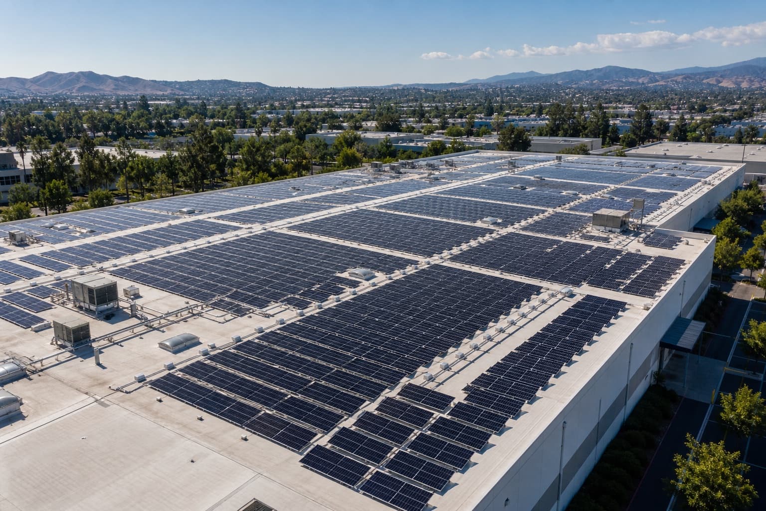
3D model-ready drone capture for property review
aerial imagery for third-party spatial model viewers
drone documentation for digital twin reference
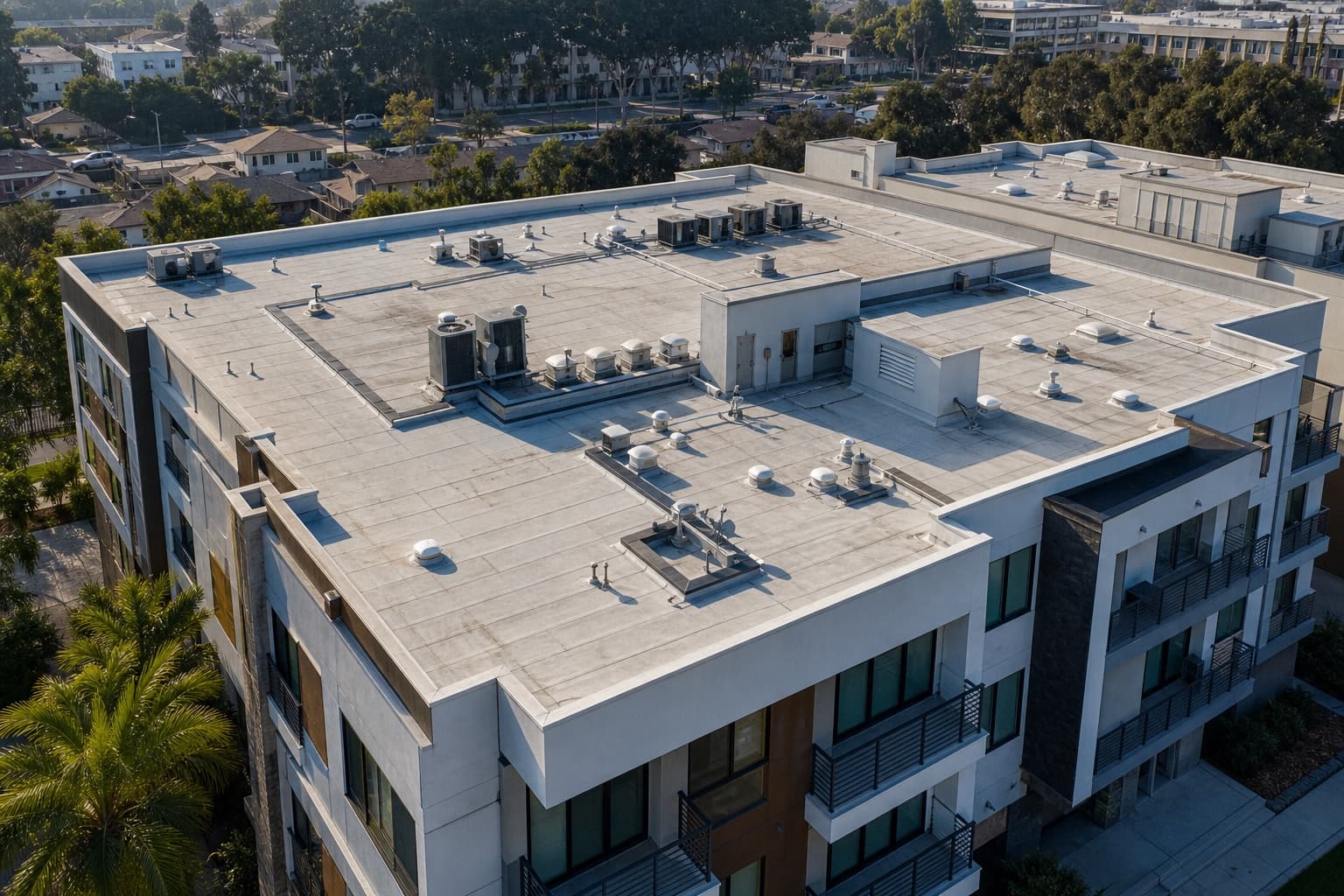
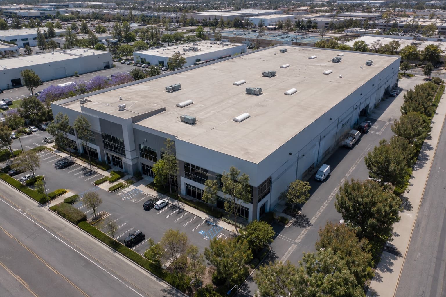
model-ready roof, facade, and perimeter capture
Scope
Every useful view, agreed before flight.
Capture planned for model-ready output
Coverage and overlap for reconstruction
Reference imagery for spatial tools
Coordination with your model workflow
Managed process
From an approved owner brief to a private, organized record.
01
Owner brief
Before anything is scheduled, we agree on the objective, priority areas, exclusions, access, and deliverables in one approved brief. Nothing is captured that you didn't sign off on.
02
Flight plan
An FAA Part 107-certified operator reviews angles, altitude, airspace, access, and authorization requirements so the capture plan matches the approved brief.
03
Capture
We fly the planned mission, collecting wide context and focused detail from repeatable positions that stay useful for future comparison.
04
Organize
Every image, clip, and view is grouped by area and dated — no loose folders, no guessing which file is which.
05
Deliver
You receive one private project record you can review, compare, and share with approved stakeholders. Delivery timing is confirmed in the owner brief.
Client preview
The flight becomes a record your team can use.
Specialized output is offered when equipment, overlap, and qualified interpretation requirements are confirmed.
3D & spatial
Model-ready capture
Industrial asset · Southern California
Coverage
Roof + facade
Overlap
Planned
Output
Viewer-ready
Organized views
Delivery status
Operating standard
Licensed & insured
Commercial flights are conducted by an FAA Part 107-certified operator with $2M liability coverage. COI available by request.
Scoped before flight
The owner brief defines exactly what is documented before the drone takes off.
Private by default
Your record is delivered through a private link and shared only with the people you approve.
Built to act on
Organized, dated, and ready for the decision in front of you — not a folder you have to explain.
Next step
Tell us what needs to be visible.
Most standard assignments are delivered within 24 hours after capture. Final timing is confirmed with the approved scope.
Do you guarantee survey-grade accuracy?
No. Survey-grade or engineering outputs are only offered when qualified professionals, equipment, and scope requirements are confirmed.
Which model viewers can be supported?
Supported embeds may include tools such as Matterport, Polycam, Sketchfab, Nira, DroneDeploy, or a custom iframe when the provider and URL are approved.
When is model-ready capture useful?
It is useful when a team needs more spatial context than flat photos, such as roofline, facade, perimeter, or site-layout reference.
How quickly are standard deliverables ready?
Most standard assignments are delivered within 24 hours after capture. Final timing is confirmed with the approved scope.
What can affect scheduling?
Airspace, site access, authorization requirements, weather, operating conditions, and the approved scope are reviewed before scheduling.
How are files delivered?
Approved files are organized for private review and sharing. Draft, hidden, or internal notes are not part of the public deliverable.