Documented. Inspected. Delivered.
Aerial documentation and inspection. We deliver results in 24 hours.
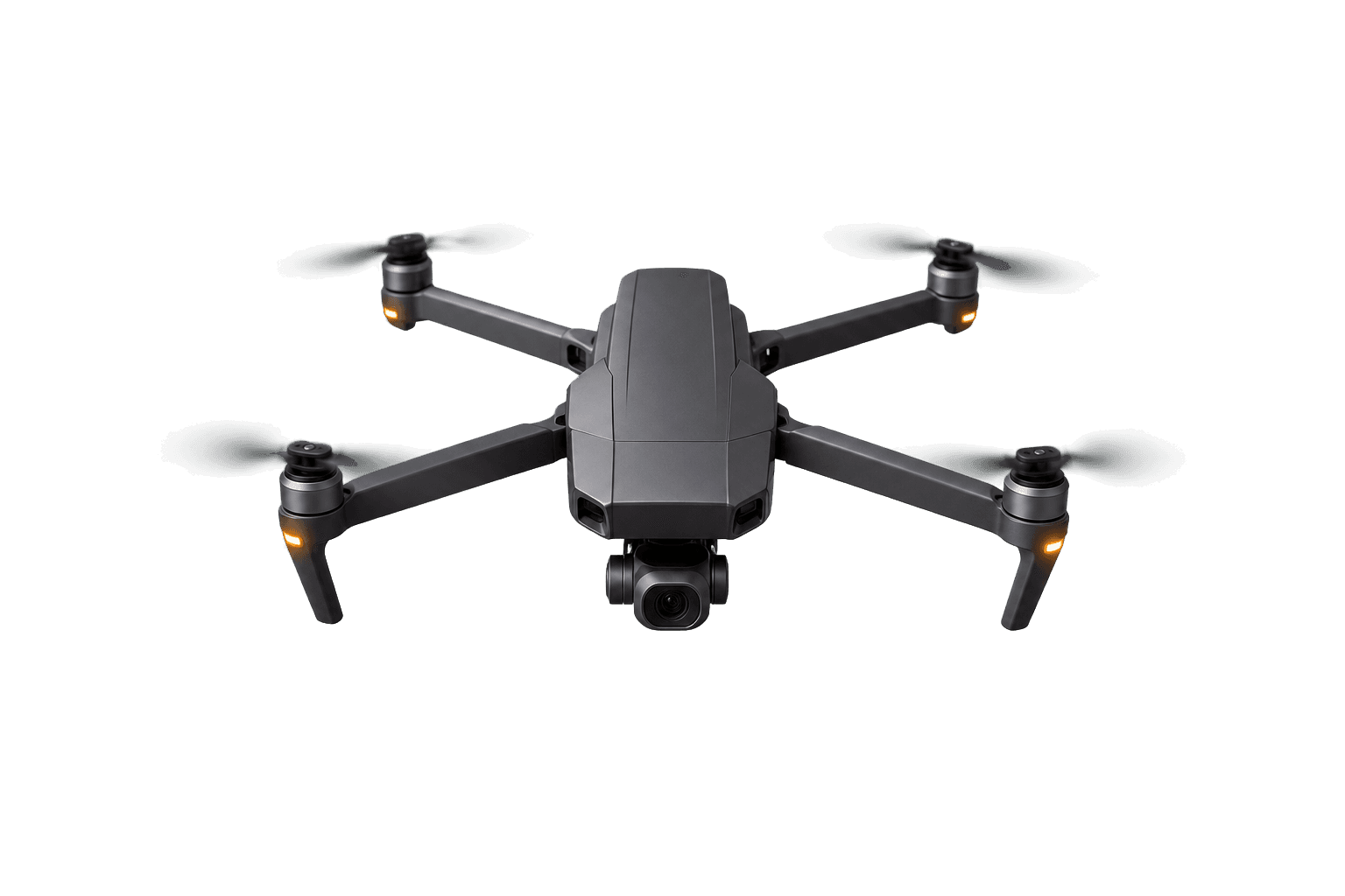
From simple sites to the most complex, hard-to-reach assets, our licensed FAA Part 107 pilots get the mission done. Every flight permit handled, anywhere in Southern California.
Residential assignments start at $400. Final scope and pricing are confirmed after location and access review.
FAA Part 107
Commercial operator
$2M
Liability coverage
12 projects
Completed assignments
Within 24 hours
Response target
Choose the right starting point
One clear property question or an ongoing documentation program.
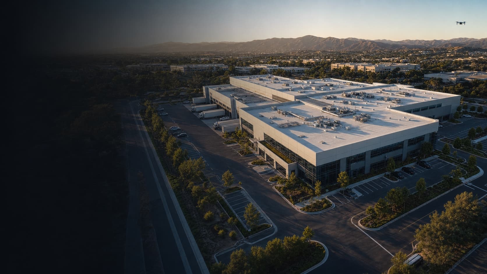
See the result first
A flight is useful when the record is easy to review.
This illustrative sample shows the delivery structure without presenting generated material as completed client work.
Capabilities and approved case studies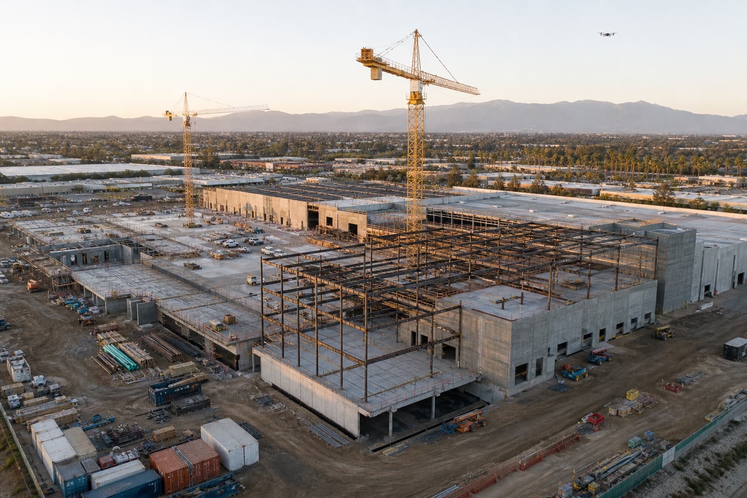
Capability example
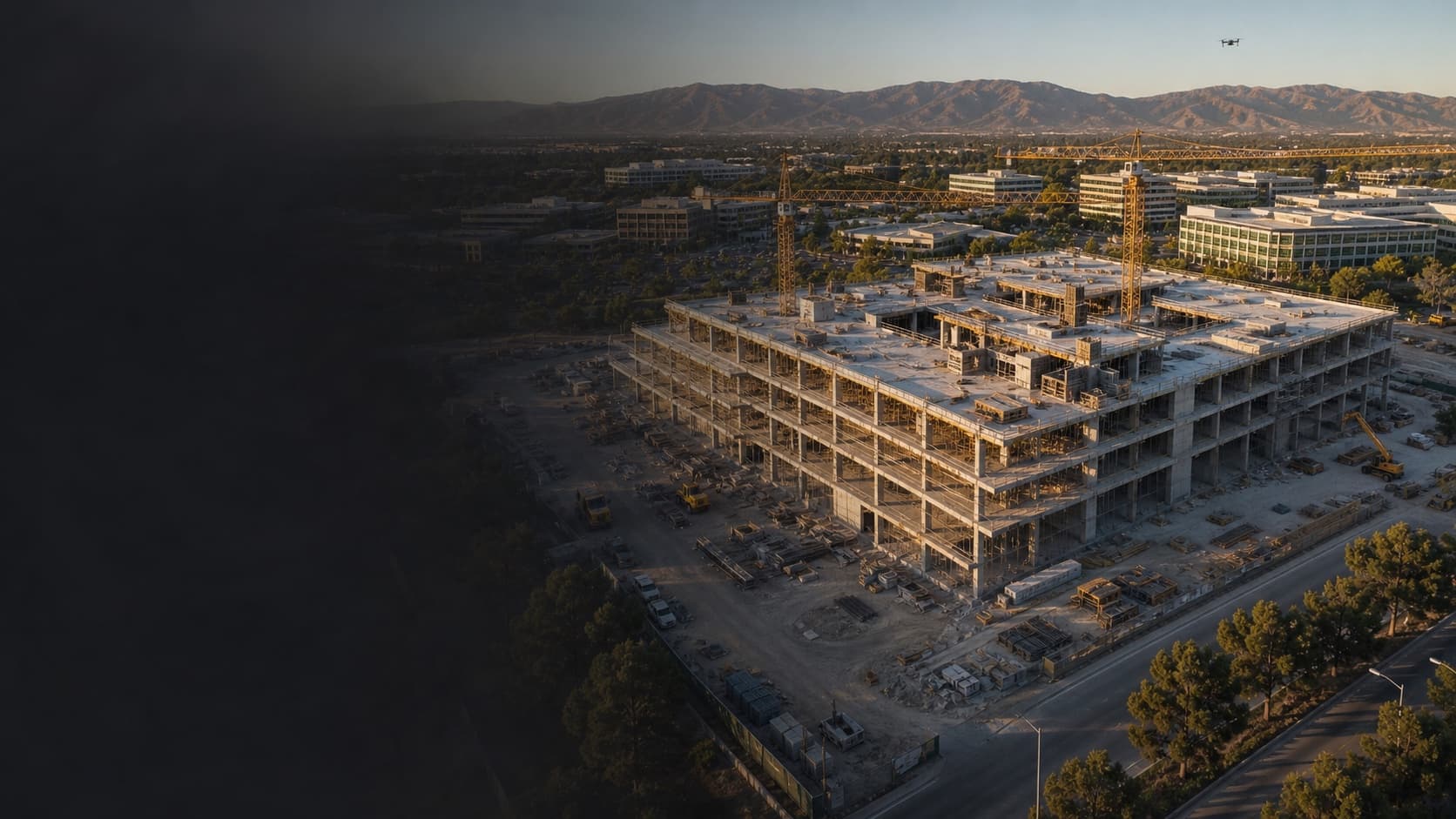
Construction progress record
Repeatable views · dated milestones · stakeholder-ready delivery
What the client can review
Core services
The right record for the property and decision.
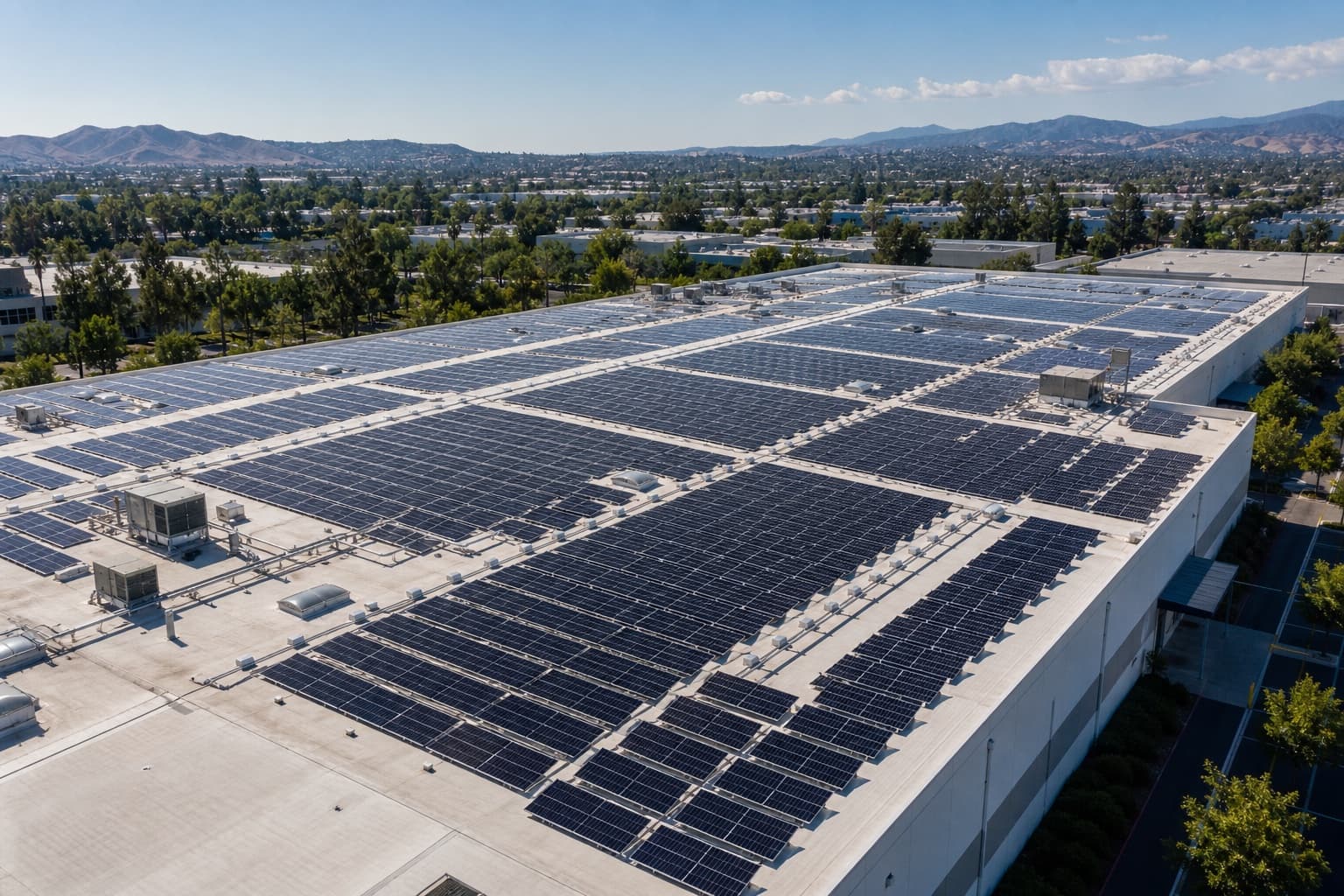
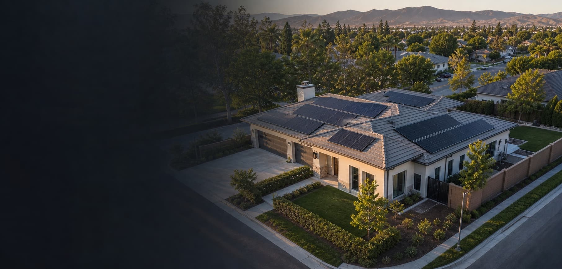
Solar documentation
Solar asset documentation
Array overview, installation progress, repeatable visual records, and optional thermal capture when separately scoped.
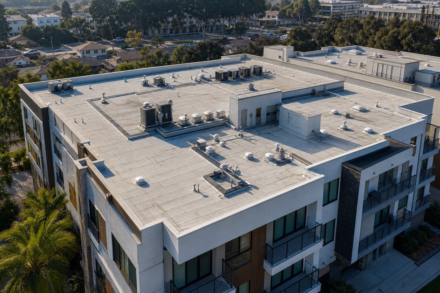
Roof & exterior
Roof & exterior documentation
Top-down and oblique detail, access points, rooflines, and facades captured as a condition-focused visual record.
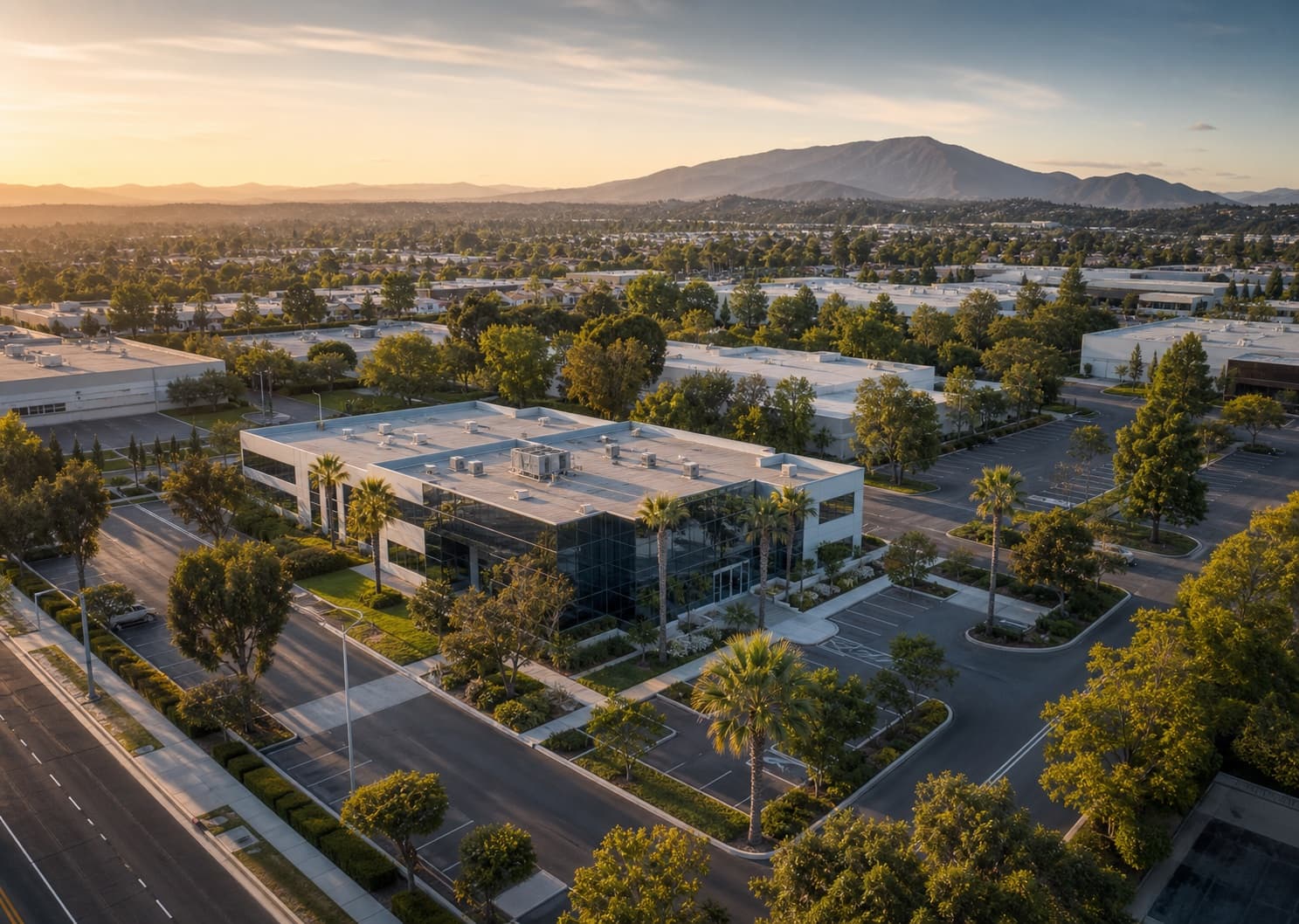
Property media
Property presentation
Aerial context for listings, leasing, ownership updates, and property decisions where ground-level media is incomplete.
Construction
Construction progress documentation
Repeatable angles, milestone captures, dated visual history, and stakeholder-ready updates for active sites.
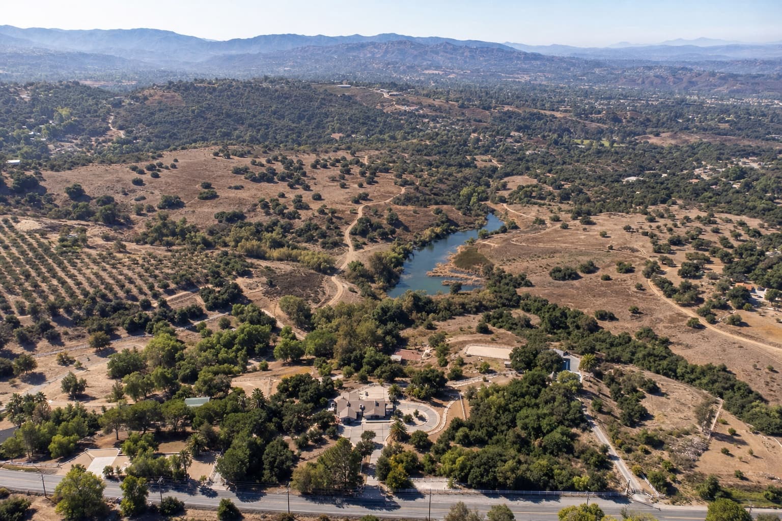
Land & acreage
Land & acreage overview
Broad property context, access routes, vegetation, structures, fields, and repeatable records for landowners and operators.
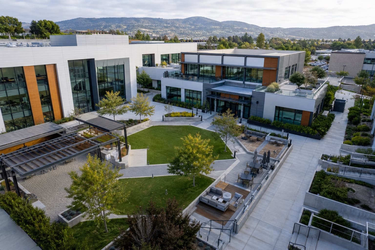
Immersive review
360 & immersive review
360 views and short walkthrough-style media for remote review, discussion, and client portal delivery.
How it works
Scope first. Capture only what is useful. Deliver it organized.
01
Request
Share the location, useful question, timing, and desired result.
02
Scope
We review access, airspace, operating conditions, and approved deliverables.
03
Capture
The planned mission collects wide context and focused priority views.
04
Organize
Approved assets are dated and grouped by area or decision.
05
Deliver
The useful record is prepared for private review and sharing.
Clear operating boundaries build a more useful record.
Airspace, site access, and authorization requirements are reviewed before scheduling. Timing and availability depend on location, conditions, and approved scope.
Most standard assignments are delivered within 24 hours after capture. Final timing is confirmed with the approved scope.
Drone deliverables are visual documentation unless otherwise stated. They do not replace licensed roofing, engineering, surveying, legal, or insurance advice.
About operating standardsBefore you request
Straight answers before a drone is scheduled.
Is Solvd Air for homeowners or businesses?
Both. Homeowners use Solvd Air for roofs, solar, exterior areas, land, and claim-related visual records. Business clients use it for construction, commercial properties, portfolios, solar assets, and stakeholder-ready documentation.
How much does residential documentation cost?
Residential assignments start at $400. Final pricing depends on location, access, operating conditions, site size, and requested deliverables.
Do I need to be on site?
Often no. Access, boundaries, exclusions, and the intended record are confirmed before scheduling.
What happens if weather changes?
We monitor conditions and reschedule when wind, visibility, or site conditions would compromise safe operation or the usefulness of the record.
When will I receive the files?
Most standard assignments are delivered within 24 hours after capture. Final timing is confirmed with the approved scope.
Is this a licensed roof, engineering, or insurance inspection?
No. Solvd Air provides visual documentation unless a specialized service is explicitly scoped. The record can be shared with qualified roofers, engineers, adjusters, insurers, or other specialists.
Can I use the images for an insurance claim?
You may share the visual record with an insurer or qualified specialist, but Solvd Air does not make insurance, roofing, engineering, or legal conclusions.
Where do you operate?
Los Angeles, Orange County, Inland Empire, Ventura County, and other Southern California locations by request.
How are files delivered?
Approved photos, video, reports, 360 views, and supported 3D embeds are organized for private review and sharing.
Are my files public?
No. Approved deliverables are private by default and shared only through the delivery method confirmed in the scope.
Can I ask a question before requesting a quote?
Yes. Use the contact page for general questions, service-area confirmation, recurring business programs, or project fit before submitting a detailed quote request.
Start with the property
Tell us what needs to be understood.
We review location, access, operating conditions, and deliverables, then respond within 24 hours with scope and pricing.
Ask a general question